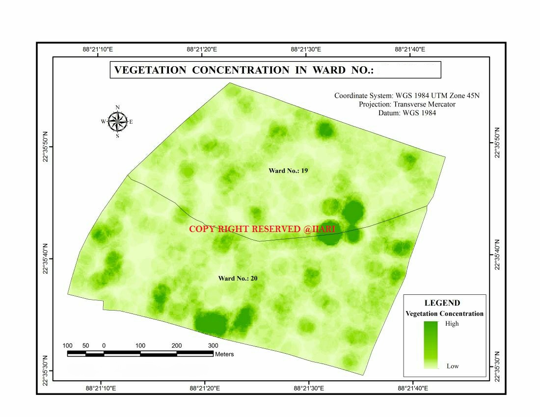
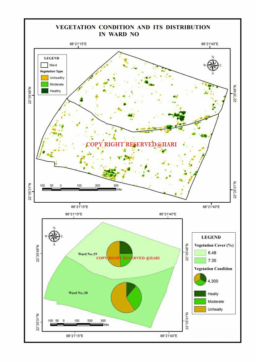
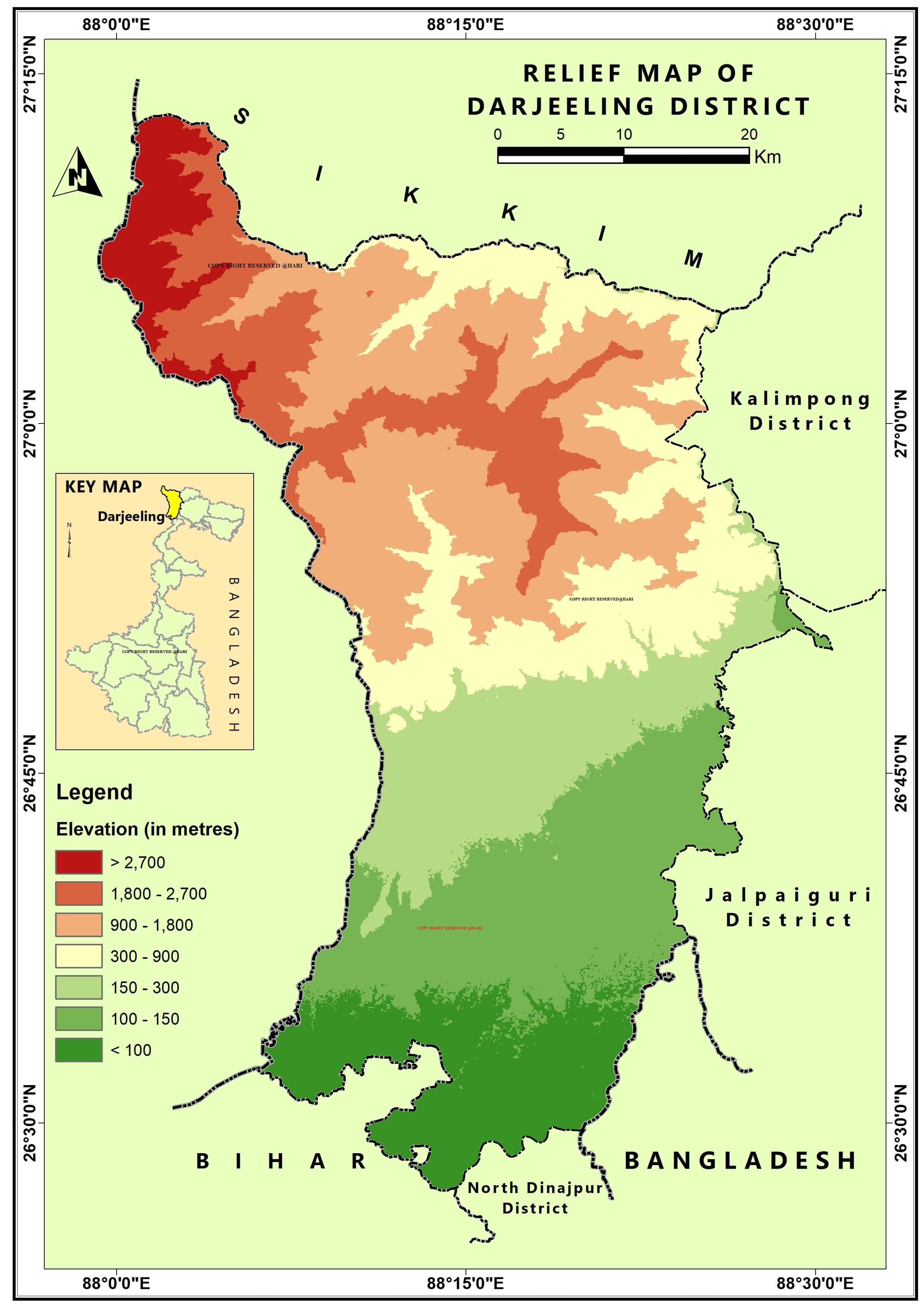
A geographic information system (GIS) is computer-based software for mapping and analyzing geographic phenomenon that exist, and events that occur, on Earth. This technology integrates common database operations such as query and statistical analysis with the unique visualization and geographic analysis benefits offered by maps.
There are certain components associated with GIS i.e. REMOTE SENSING, GNSS which are the main pillars for this software. In this present era of globalization GIS is one of the crucial and life changing tool and not only for the educational purpose but also in the job perspective.
So IIARI is expanding its educational wing in different type of certificate courses in short term basis in GIS to skill the new generation and also enlighten them in the knowledge of future and empower them truly.
COURSE
- Short-term certificate course in GIS.
- Short-term certificate course in Remote Sensing.
- Short-term certificate course in DGPS & its application.
- Integrated certificate course in GIS & Remote Sensing.
- Integrated certificate course in Global Navigation Satellite System & its applications.
- Integrated certificate course In Unmanned Aerial Vehicle (UAV).
- A Seven Days Faculty development programme in GIS & Remote Sensing.
- Workshop cum Hands-on training in GIS & Remote Sensing.
- Workshop cum Hands-on training in Drone survey & Analysis.

INITIATIVE
- A Five Days Online Course On Quantum GIS Jointly Organised By ISLAMPUR COLLEGE (Affiliated To University Of North Bengal) & INTEGRATED INSTITUTE FOR ADVANCED RESEARCH AND INFORMATION (IIARI) FROM 20TH MAY – 29TH MAY, 2020.
- A Five Days Online Course On Quantum GIS Jointly Organised By Cluny Women’s College, Kalimpong(Affiliated To University Of North Bengal) & INTEGRATED INSTITUTE FOR ADVANCED RESEARCH AND INFORMATION (IIARI) FROM 8TH JULY – 12TH JULY, 2020.
- A 5 DAYS NATIONAL LEVEL WORKSHOP ON “Advance QGIS – A Spatial Data Analysis Tool” FROM 25TH JULY TO 29TH JULY,2020
