- Topographic survey.
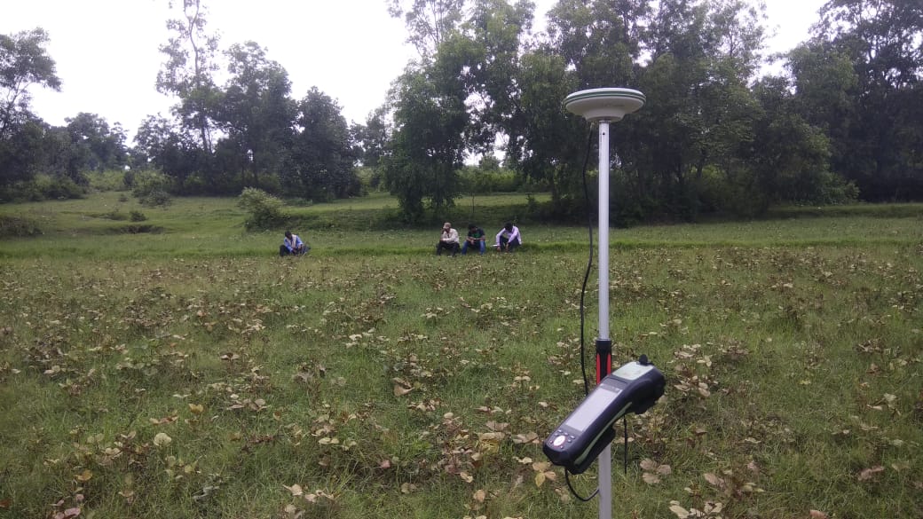
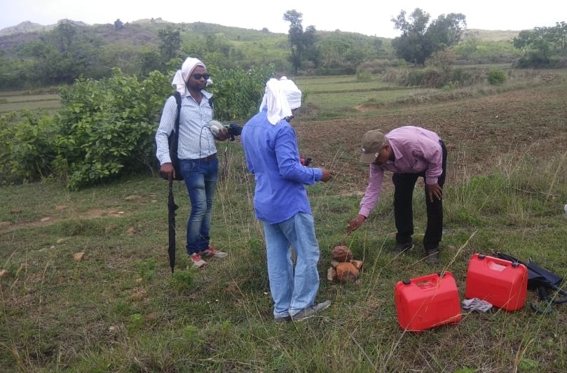
- DGPS & GPS Surveying.
- Map creation.
- Field survey, data collection & data processing.
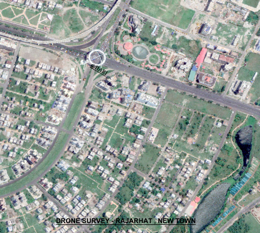
- Drone surveying & post processing of data
Land survey is gradually processed using different type of instruments like DGPS, GPS, AUTO LEVEL, TOTAL STATION, DRONE etc. And we are equipped with all this type of instruments which help us to serve to the best. Our team members have expertise in different segments with minimum experience of five years which help us to serve you better than any other and also a strong back office support give us an extra support to process those field data quickly and neatly.